Flying sites
Paraworth – flying sites
Our flying sites are located only 50 km south of Munich and they are easy to reach by train or car within a 60-minute drive or ride.
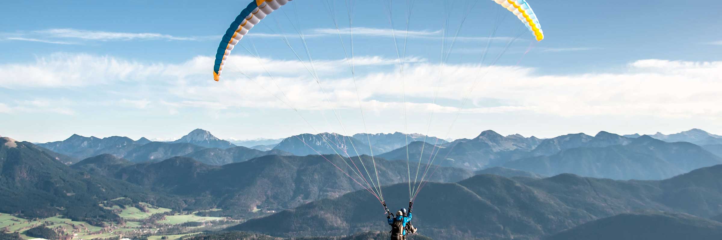
There are two valleys next to each other and this allows us to cover all wind directions in terms of the launch. Both sites offer a stunning view of the Bavarian Alps and also to Munich if the sky is clear.
Brauneck – Lenggries at the river Isar
The map of the site below shows the guiding to the mountain called Brauneck which is in the valley called Isartal. The town of this flying site is called Lenggries.
Both mountains offer the same altitude and the launch will be reached by cable car and a 5-minute walk.
Wallberg – Rottach Egern at Lake Tegernsee
The map of the site below shows the guiding to the mountain called Wallberg which is in the valley called Tegernseer Tal. The town of this flying site is called Rottach Egern.
Both mountains offer the same altitude and the launch will be reached by cable car and a 5-minute walk.